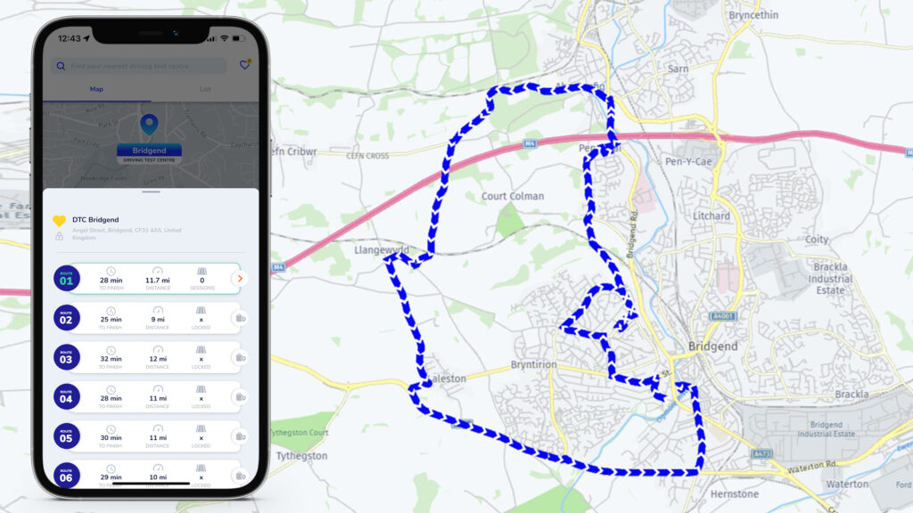
One of the most challenging aspects of the driving test is navigating the test routes, which the DVSA examiners carefully select to include the most difficult areas within the test centre radius. Knowing the test routes can give you a significant advantage, as you will be more familiar with the road layout, signs, markings, hazards, and speed limits. You will also be more confident and relaxed, improving your performance and reducing your chances of making mistakes.
If you plan to take your driving test at the Bridgend test centre, you might wonder what the test routes are like and how to prepare for them. In this blog post, we will reveal the secrets of acing Bridgend’s driving routes and help you drive to success!
Bridgend Driving Test Centre
The Bridgend driving test centre is located at Crown Building, Angel Street, Bridgend, CF31 4AD1. It has a car park available for candidates, as well as male and female toilets and disabled access. The test centre covers a wide area of Mid Glamorgan, including Bridgend, Pencoed, Porthcawl, Maesteg, and Cowbridge.
The test centre has a pass rate of 51.2% for first-time attempts, which is slightly higher than the national average of 47.1%2. However, this does not mean that the test is easy, as the test routes can be very challenging and varied, depending on the traffic and weather conditions. The test routes can include rural roads, dual carriageways, roundabouts, junctions, crossroads, one-way systems, and hill starts. You will also need to perform one reversing manoeuvre, such as parallel parking, bay parking, or pulling up on the right and reversing. You may also be asked to do an emergency stop and follow directions from a sat nav or traffic signs for about 20 minutes.
Bridgend Driving Routes on Exam Routes App
The DVSA does not publish the Bridgend driving routes, as they can change at any time depending on the examiner’s discretion. However, using the Exam Routes app, you can get an idea of the possible routes.


